Home»All Photographs»The Landscape of the Pryor Mountain Wild Horse Range
Visitors 51
Modified 12-Feb-24
Created 4-Nov-15
10 photos
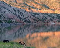
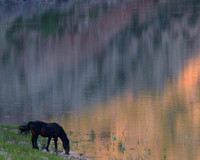
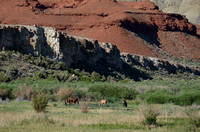
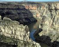
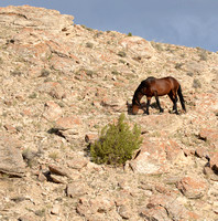
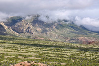
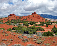
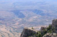
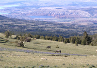
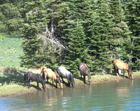
The Pryor Mountain Wild Horse Range runs west from the Bighorn River to the top of East Pryor Mountain. The National Park Service manages the portion of the Range that lies within Bighorn Canyon National Recreation Area. The "Dryhead" is a large expanse of high desert landscape that includes private ranches and homesteads as well as lower elevations of the Wild Horse Range. This gallery shows the Dryhead, and the vibrant hues of Lower Sykes at the base of East Pryor Mountain. Finally it includes photos of the meadows and water sources at the top of East Pryor where many of the horse spend the summer months.